Tunk Mountain
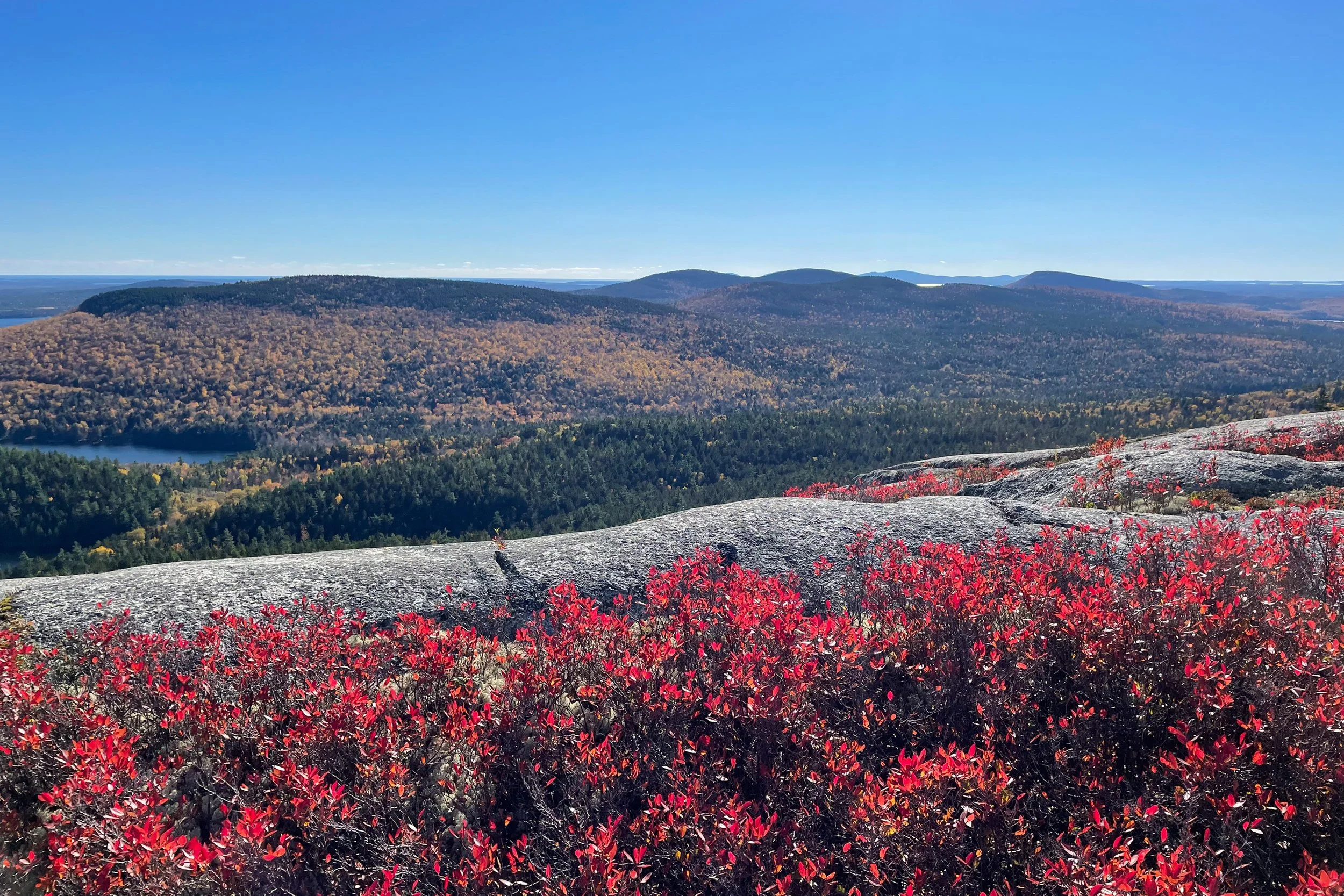
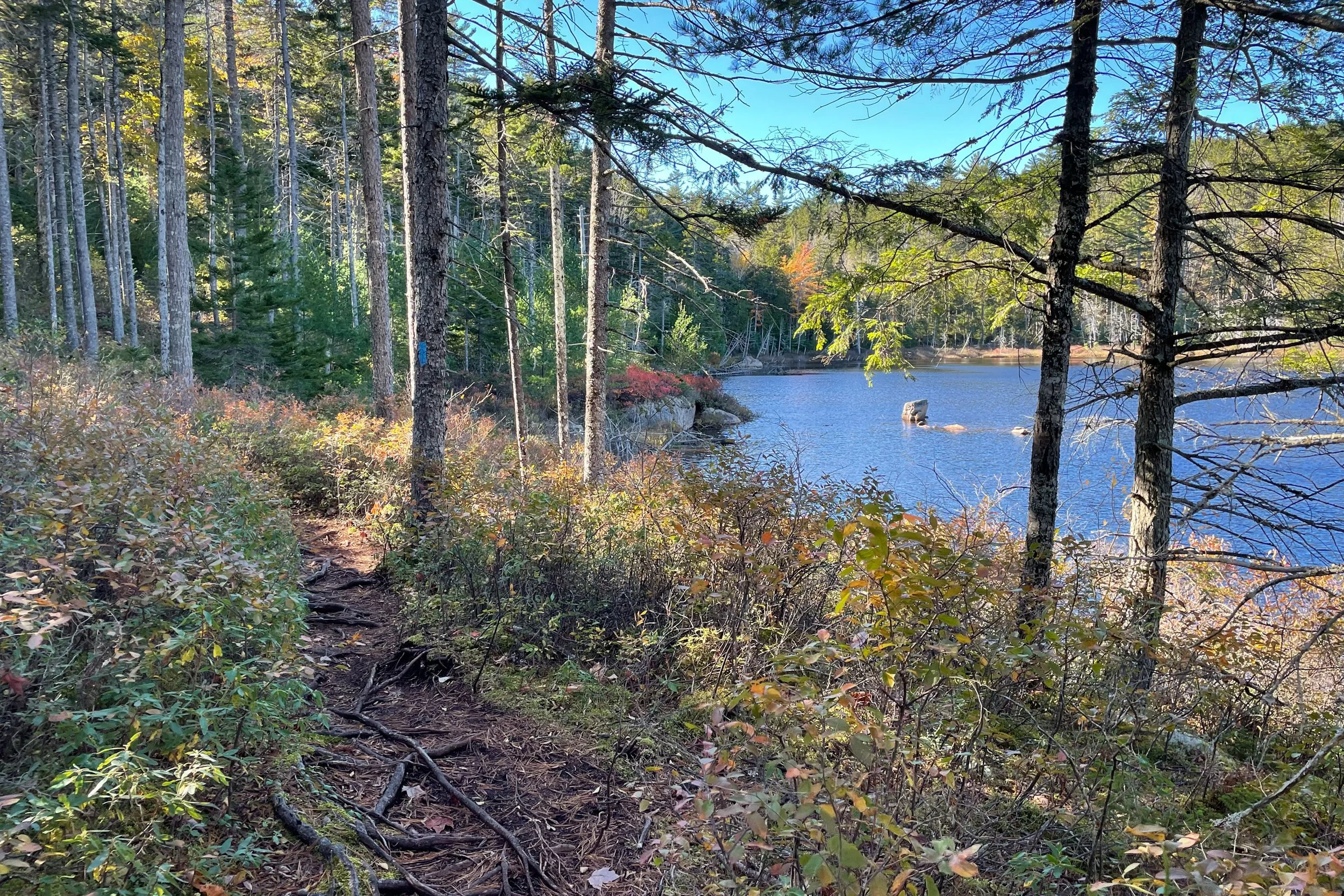
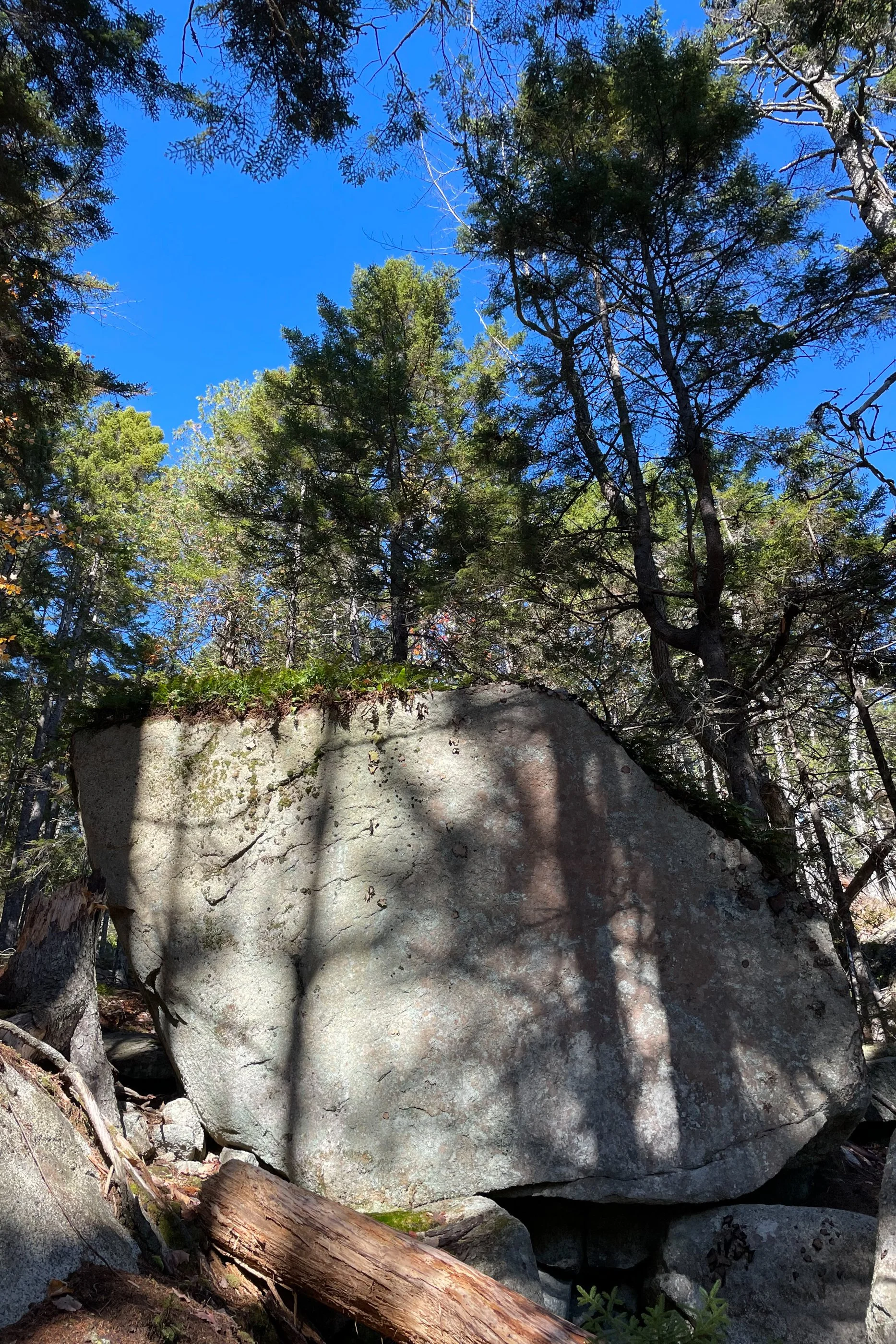
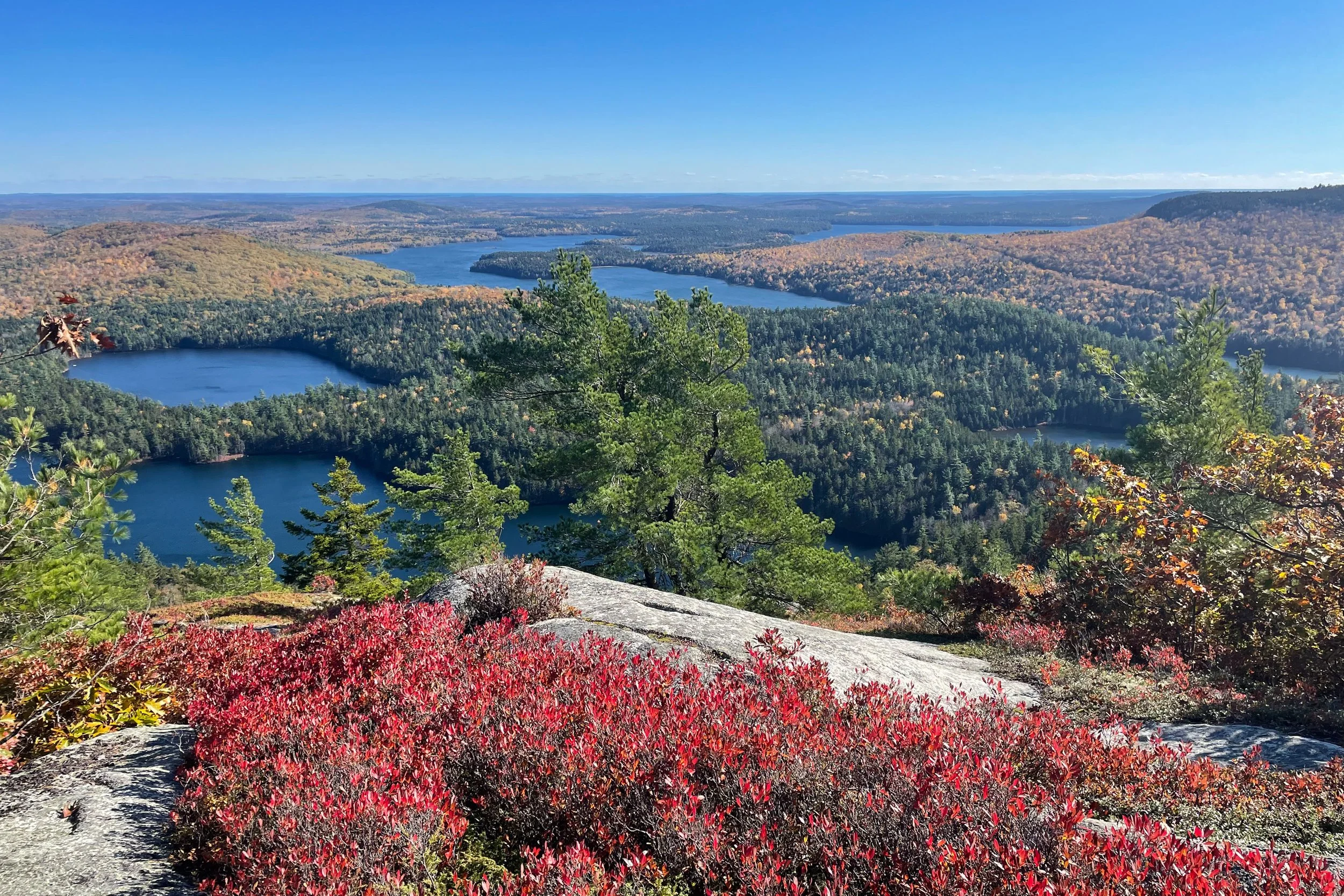
Rising 1,157 feet above sea level, Tunk Mountain is one of the tallest peaks in eastern Maine. Hiking trails explore the mossy forest and pristine ponds at the foot of the mountain, then lead up to open ledges near its summit.
A large portion of the mountain and nearby ponds are located on Donnell Pond Public Lands, 14,000 acres of state-owned land in Hancock County between the towns of Franklin and Cherryfield.
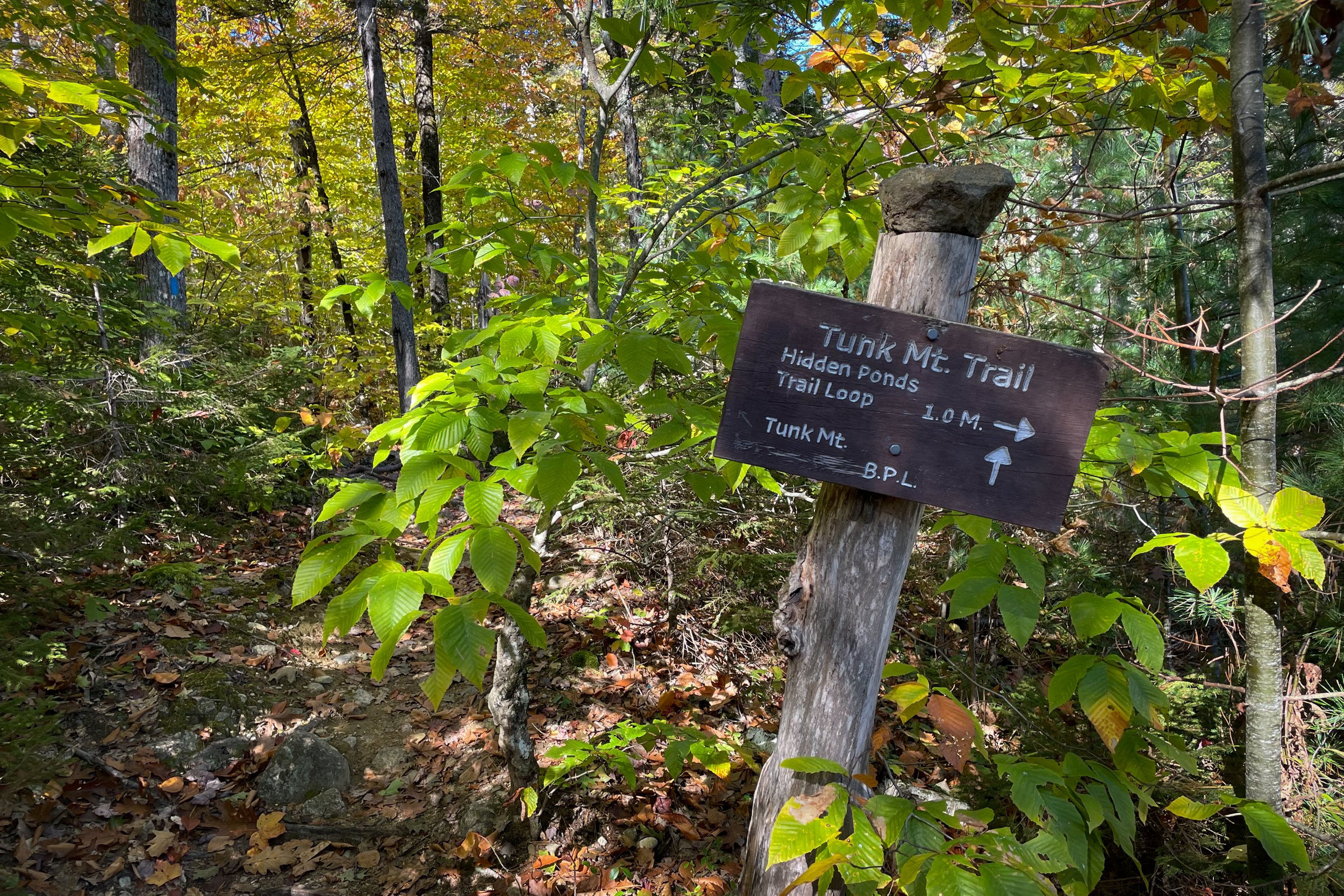
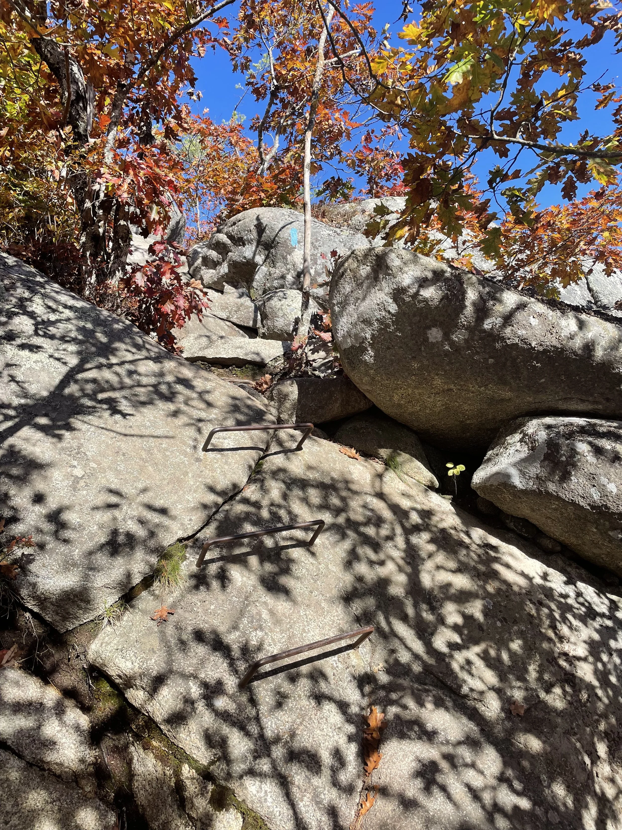
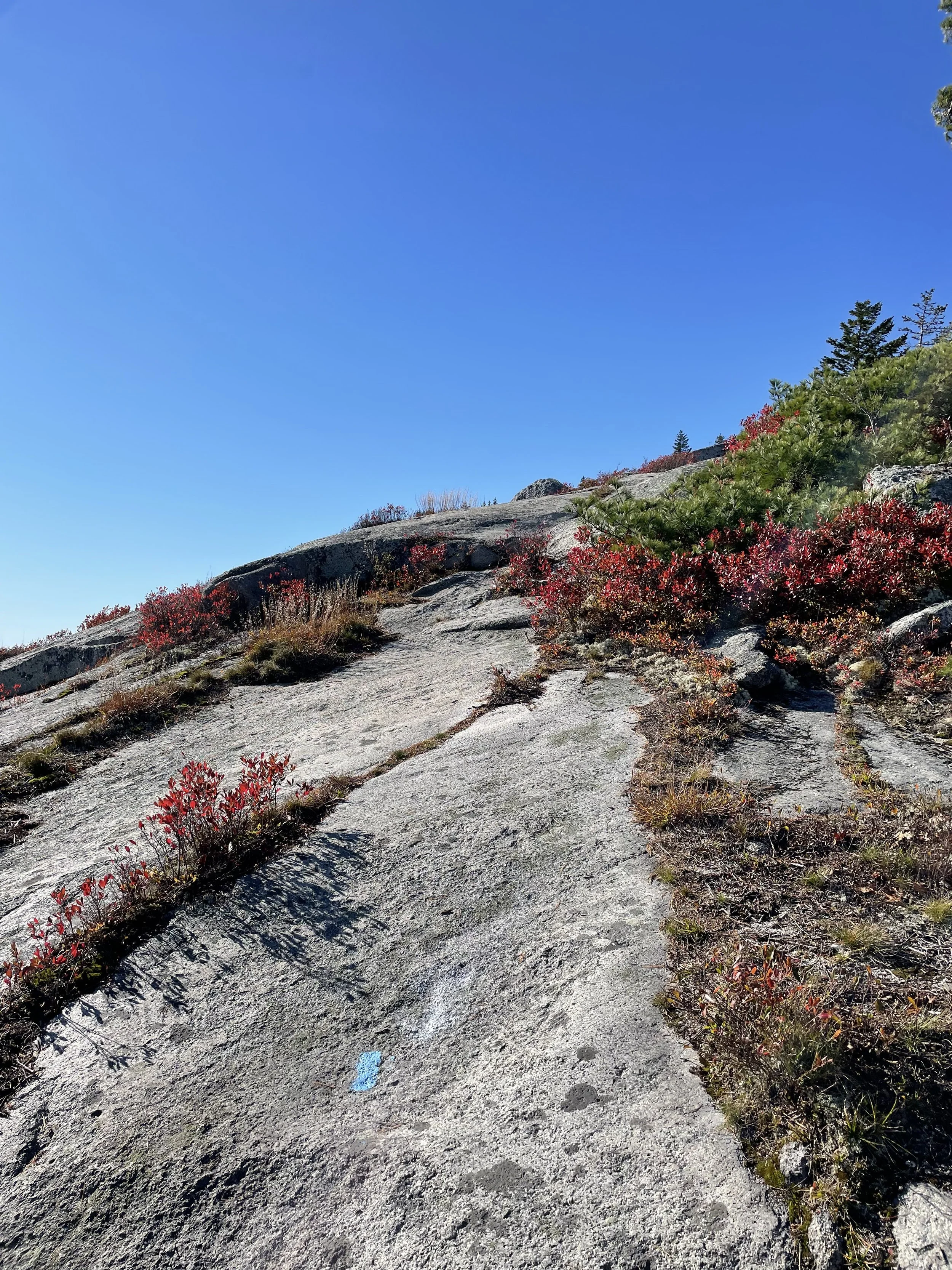
The hike is about 4 miles long, with the option of adding another mile to circle around the ponds. The difficulty is moderate to strenuous. The trail features many exposed tree roots and rocks, and sections of the hike are steep, including one section that features three metal rungs. Contact us to see if this is the right adventure for you!